

No products in the cart.
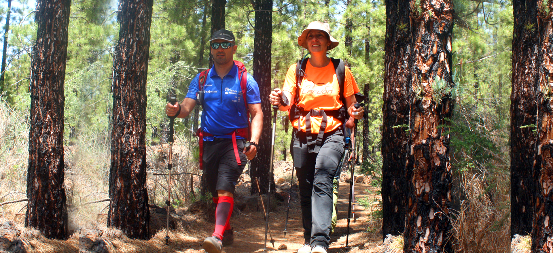
Discover Tenerife by foot
3718 meters of adventure. 365 days a year. 6 stages from the sea to the peak. 135 kilometers of dream landscapes.
Descripction
- 3.718 meters of altitude
- 365 days a year
- About. 135 km
- For experienced hikers (medium and advanced level)
- Crossing the island by stages
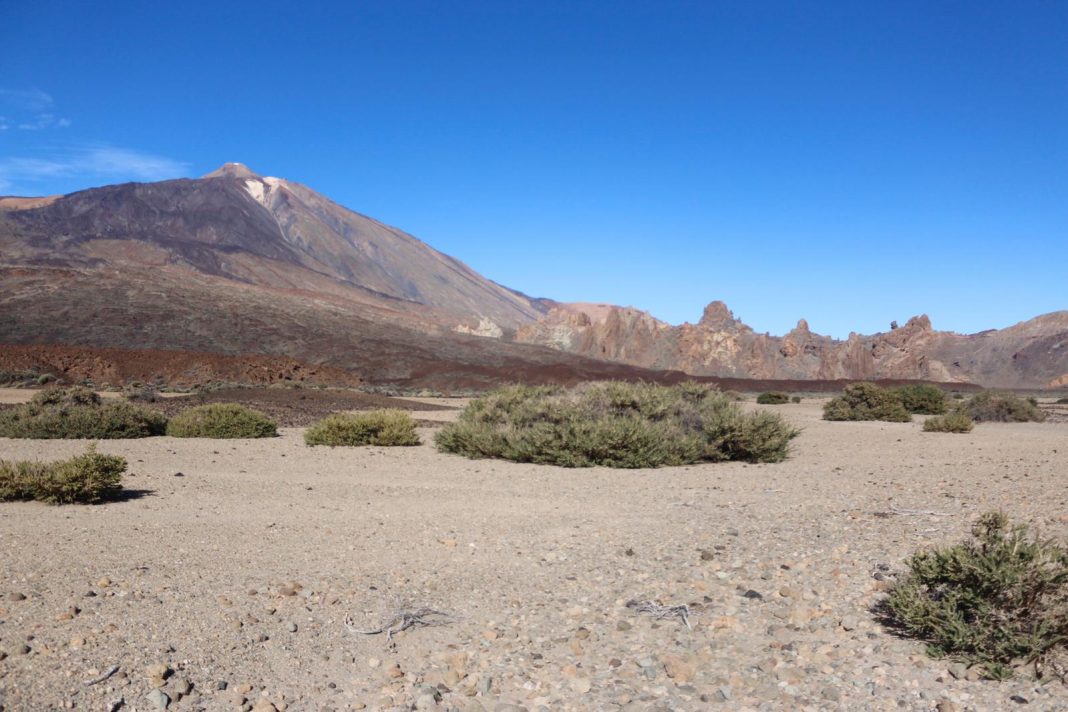
- From sea level to near volcano Teide peak, 3.555 m (Advanced level version) ending at sea level again
- Auto-guided experience with Latitud Tenerife support
- Begin your adventure
Why living the Latitud Tenerife experience?
Because in very few places in the world you can do routes starting at sea level and reaching almost 4000 meters of altitude. Tenerife, together with Hawaii, is one of those privileged places. Latitud Tenerife suggests to walk the island from side to side, from east to west, starting at Punta de Teno, ascending near the peak of Mount Teide, for the most daring people, and ending in Anaga, in Punta del Hidalgo. Over 135 kilometers of length, 3718 slope, in 6 stages and an average of 22,5 daily kilometers.
Información
- Medium
- 6
- About 135 km
- About 22,5 km
Difficulty levels
The experience has two levels: Medium Level and Advanced Level:
- At the medium level we cross the National Park on a route that runs over 2000-2250 m. above sea level.
- At the advanced level you ascend almost to the top of El Teide Volcano (3.555 m.).
The considerable differences between the two levels are exclusively in Stages 3 and 4.
*The realization of the experience in advanced level is conditioned by the existence of places in Altavista Refuge. If there were no availability on the chosen dates, we can only offer you he experience at medium level.
The complete experience
The complete 6 stages experience is offered for individual registrations on the following dates: December Bridge, Easter Week and last week of July. For groups on any date by reservation.
Middle Level (without ascent to the peak of El Teide)
Advanced Level (with ascent to the peak of El Teide)
The experience in stages
For those who have less time we offer the option of making the experience in stages, offering a stage every month.
Middle level
Without ascent to the peak of El TeideJanuary - June
Advanced Level
With ascent to the peak of El TeideJuly - December
The experience by sections
Also for those who have less time we offer the option to make the experience in section of 2 custom stages.
Medium level
Without ascent to Teide
Section 1: Punta de Teno - Albergue Bolico / Albergue Bolico - Chío
Section 2: Chío - Roques de García / Roques de García - La Caldera
Section 3: La Caldera -La Esperanza / La Laguna - Punta Hidalgo
Nivel avanzado
Con subida al Teide
Tramo 1: Punta de Teno - Albergue Bolico / Albergue Bolico - Chío
Tramo 2: Chío - Altavista / Altavista - La Caldera
Tramo 3: La Caldera - La Esperanza / La Laguna - Punta Hidalgo